My Academic Projects
Explore my semester-wise GIS, Remote Sensing & Earth Observation projects.
Advanced Cartography: EU GHG StoryMap
A visual comparison of population distribution and per-capita greenhouse gas emissions across Europe in 2021.
Part of the Advanced Cartography course.
Spatial Thinking: Sentinel Missions Overview
An interactive web application using HTML, CSS & JavaScript with a tile layer using CesiumJS.
 View Project
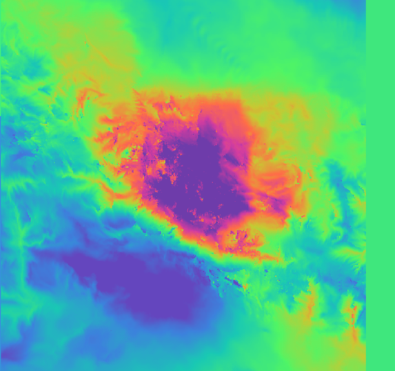
Advanced Remote Sensing: Al Haouz Earthquake Analysis
Visualization of the Al Haouz Region (Morocco) 2023 earthquake using SAR imagery in SNAP software, including the generation of a displacement map.